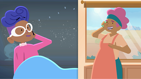
Watch: Introduction to maps
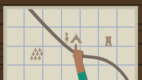
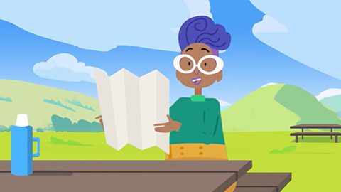
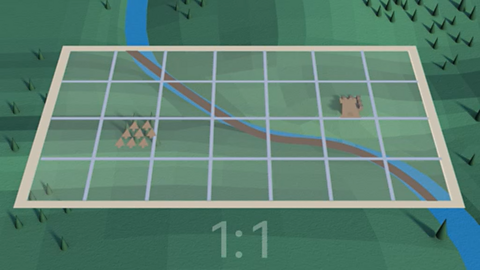
I’m hiking in Shropshire. I’m planning my route using this map. I’m working out how far it is to this castle and which way it is. I’m here by the campsite.
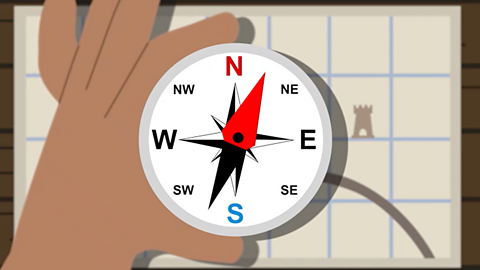
First I need to find out which direction the castle is in. For that I’ll need a compass.
A compass shows four main directions, or points: north, east, south and west.
The thing wobbling around in the middle there is the needle!
The needle always points north and the top of the map is north. I can see the castle is east of where I am! So the castle must be… That way!
Now, I need to know how far it is.
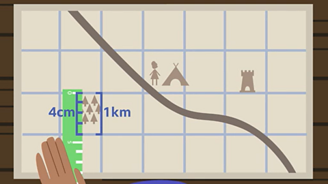
A map is a two-dimensional drawing of an area. The scale on a map shows how many times bigger the real world is than the map.
So, four centimetres on this map, is one kilometre in real life.
So I can see that the castle is two kilometres from where I am.
I like old paper maps, but we can also use maps on our phones or tablets. Which is just as well!
What do you see on a map?
A map is a two-dimensional drawing of an area.
Maps can show:
- the countryside
- a town
- a country
- or even the whole world.
Maps can be on paper or on a mobile phone, tablet or computer.
People use maps to work out how to get from one place to another.
Maps show specific features on the landscape, such as hills or landmarks such as castles.
There are different types of maps for walking, driving or even flying somewhere.
How do you use a map?
- A compass can be used to find which direction north is. Compasses show four directions - north, east, south and west and the needle always points north.
What is scale on a map?
Maps are not drawn to the same size as the ground because they would be far too big.
Instead they are drawn to a smaller scale.
The scale on a map is a set of numbers that can be used to compare distances.
Scale can be written, for example, as 1:25,000.
This means that the actual size of the ground is 25,000 times bigger than it is on the map.
This means every four centimetres on the map is one kilometre in real life.
Activities
Activity 1: Using a compass
Activity 2: Quiz – Using a map
Bitesize Primary games. game
Play fun and educational primary games in science, maths, English, history, geography, art, computing and modern languages.
More on Geography skills
Find out more by working through a topic
- count10 of 10
- count1 of 10

- count2 of 10
- count3 of 10