Watch: What are contours, keys and symbols?
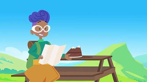
It’s my friend’s birthday. He loves the outdoors, so we’re going camping and I’m taking this birthday cake in the shape of a mountain!
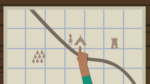
He’s given me this map to show the way to the campsite, but it’s really hard to understand.
He’s written names next to everything on the map, but instead of making it clearer, it looks too cluttered!
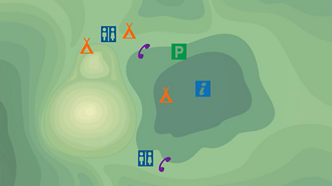
It would be clearer with symbols instead of words. Instead of using the word campsite, we could use the symbol for campsite.
And instead of writing car park, we could use the symbol for car park.
If we change all the other things to symbols, it makes it easier to understand.
We’ll need a key to show what the symbols mean. I still need to show where the hills are.
This where contours come in.
Contours are lines drawn on maps that join places of the same height.
They can be used to see the shape of the land.
Look, I’ll show you using the birthday cake.
First, I’m going to slice my mountain cake up horizontally at different heights.
Then, if we look at it from above we can see what the contours would look like.
We can see where the slope is the steepest, the contour lines are closest together.
And where the slope is shallow, the lines are far apart.
If I add contours to the map, I can see where the hills are and how steep they are.
You don’t always need cake to explain geography but it helps!
Reading a map
Maps are usually too small to contain lots of writing.
Instead there are symbols, which show important landmarks, places and areas.
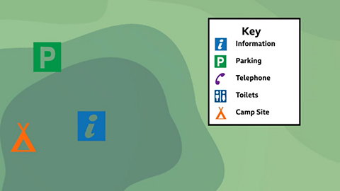
There is usually a key at the side of the map, which explains what these symbols mean.
Symbols
Symbols are often similar on many types of map.
For example, buildings or tourist attractions are shown with blue symbols.
Different types of roads are shown in different colours:
- blue for a motorway
- red for a main road
- yellow or orange for narrower roads.
Dotted green lines are usually used to show footpaths.
Look at the map and key below to find out what different symbols mean.
Contours
- Some maps, like ones showing the countryside, have contour lines. These are lines that show high and low areas of land.
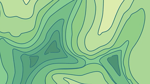
Contour lines join up areas of the same height.
When they are close together it means the hill or mountain is steep.
When they are far apart it means the land is gently sloping, or undulating (up and down).
This is useful to know when planning a route. You can work out whether it is going to be a hike up a steep mountainside or a walk on flat ground.
Activity: Quiz – Contours, keys and symbols
Bitesize Primary games. game
Play fun and educational primary games in science, maths, English, history, geography, art, computing and modern languages.

More on Geography skills
Find out more by working through a topic
- count1 of 10

- count2 of 10
- count3 of 10

- count4 of 10