Will we see snow in the UK next week?
- Published

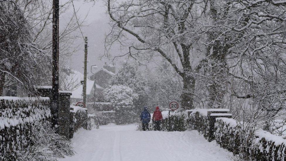
Are we likely to see a repeat of the mid-January snow, as seen here in Grasmere, Cumbria?
The battle between cold and warm air that we have been having lately is set to continue over the next few days.
With more of the United Kingdom likely to move into colder air next week the chance of some snow increases.
We will keep the brisk west to south-westerly winds through the weekend. On Saturday, southern England, Wales and the Midlands will still be mild but cloudy with a little rain or drizzle.
Northern England, Northern Ireland and Scotland will be cooler on Saturday with some sunshine and a few showers. The heavier showers in northern Scotland could bring some hail.
On Sunday, the cloudy and mild air will push north again to bring rain to northern England, Northern Ireland and much of Scotland. Northern Scotland will stay in colder air with some sleet or possibly snow showers.
Next week's details look more up in the air. Colder air tries to push south but bands of wet weather are likely to move across from the Atlantic.
Any snow next week is most likely to fall in northern Scotland
Is there snow in the forecast?
Snow in the middle of winter is not unusual. According to Met Office figures, snow or sleet falls in the UK on 5.6 days in February on average, slightly more than any other month.
It looks like colder air will return to the northern half of the UK with sleet and snow showers for northern Scotland next week, but the southern half of the UK is expected to stay mild with some rain at times.
A slight change in the jet stream later next week could bring colder air over more of the UK and bands of rain coming across from the Atlantic could turn to snow.
Is there a snow bomb?
According to the Met Office, a weather bomb is "an unofficial term for a low pressure system whose central pressure falls 24 millibars in 24 hours in a process known as explosive cyclogenesis".
A snow bomb is just a weather bomb but with snow in the forecast. A weather bomb can bring potentially damaging winds, but a snow bomb would be accompanied by cold air and the possibility of heavy snow.
A snow bomb would be very dramatic and generate lots of interest. It is, however, unlikely to happen in the next week or two.
You can check the latest long-range forecast in our monthly outlook - and follow Â鶹ԼĹÄ Weather online, on and on .
- Published17 January