From snow to storms: a big change in the weather
- Published

This week it felt as if winter had really arrived.
All four nations of the UK had their lowest temperatures of the season so far with the mercury plummeting to -14C in the Highlands.
Snow provided some picture postcard scenes, but also , especially in Scotland.
It left the mild, exceptionally wet and often windy weather that marked the start of the year feeling like a distant memory. But a dramatic change is now taking place that threatens to take us right back to square one.
A different face of winter
The northerly winds that have brought Arctic air across our shores are being replaced by south-westerly winds blowing over the relatively warmer waters of the Atlantic.
This will bring a totally different feel with daytime highs forecast to reach 15C in places next week, almost unimaginable in the recent cold conditions.
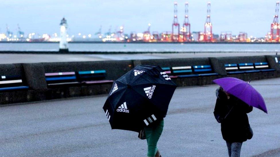
However this milder weather won't leave us basking in warm sunshine. In winter, higher temperatures are usually associated with more turbulent conditions - and this is no exception.
The Met Office has named a storm - Storm Isha - with warnings issued for most parts of the UK for Sunday and Monday. Even after that, further areas of low pressure are set to deliver more bouts of wind and rain with the risk of further flooding in areas that were so badly affected at the start of the year.

Worcester was one of the places affected by flooding in early January
Interestingly, Isha represents only the second time the letter "I" has been reached in the alphabetical list of storm names since the Met Office began naming them in 2015. It is also the earliest "I" named storm in any season.
Why the change?
At the risk of sounding like a weather cliché... it's down to the jet stream.
Recently the flow of winds high up in the atmosphere has followed a meandering, undulating pattern, swooping northwards and southwards around the globe allowing cold air to surge southwards.
This has also blocked the progress of rain-bearing weather systems - effectively putting the brakes on what had been a wet and windy winter.
But now the atmosphere is shifting back into gear and the pattern is changing. The jet stream is strengthening, thanks in part to extraordinarily cold air that has plunged southwards across North America.
The strong winds high up are surging from west to east, straight across the Atlantic, providing the momentum to spin up Storm Isha and subsequent low pressure systems in the week ahead.

The jet stream could reach speeds of 200mph (320km/h), spinning up powerful low pressure systems
It's not unusual to see big swings from cold and wintry to mild, wet and windy - this is typical British winter weather - but it really is going to feel very different.
Will the cold return?
Most computer models suggest that milder conditions are likely to last for the rest of January. High pressure may begin to put in more of an appearance towards the end of the month though, giving hope of something drier - perhaps with some chillier nights.
Uncertainty increases markedly into early February but a return to very cold conditions at this stage looks quite unlikely.
However long range forecasting is notoriously difficult and there is a fair bit of the season left to go, so it might not be wise to write off winter just yet.

Cold weather and snow are possible even into March and April
Check the latest long-range forecast in our monthly outlook - and follow Â鶹ԼĹÄ Weather Online, on and on .
- Published9 January

- Published5 April
- Published10 December 2022