Colder days and nights ahead
- Published

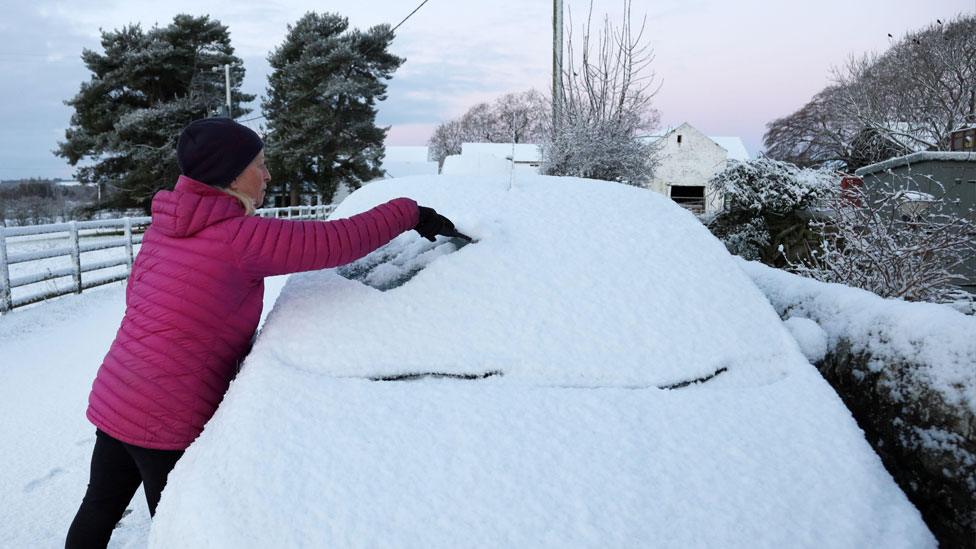
We are nearly a week into the current cold snap but today, Friday 1 December, marks the start of the meteorological winter.
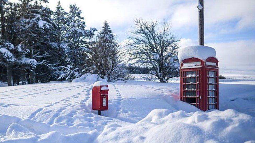
Last night was the coldest since March with temperatures as low as -9.4C in Shap in England, -8C in Eskdalemuir in Scotland, -6.2 in Katesbridge in Northern Ireland and -6C in Whitechurch in Wales.
Tonight could be even colder still.
How cold will it get?
A combination of long nights, clear skies and no wind means any heat built up during the day will be radiated out to space and it will get colder.
Tonight we may well see temperatures quite widely across the United Kingdom drop to -4C to -6C.
In Scotland the minimum temperature could be -10C or lower tonight and Saturday night, particularly where there is already lying snow.

On Friday night it will be below zero widely across the UK
Daytime temperatures in many places will only be a couple of degrees above freezing and parts of Scotland will remain sub-zero for the next few days.
Another hazard at this time of year is freezing fog. This could form readily tonight particularly in the Midlands and eastern England, and linger on for much of Saturday. There are warnings issued by the Met Office in place across much of Scotland and eastern England tonight for snow and ice with wintry showers likely to continue.
Was November's cold weather unusual?
There have been some very cold spells of weather in November over recent years. The very low temperatures tend to be recorded in Scotland and northern England. In recent years we have seen:
2021 -8.7C Shap, Cumbria
2019 -9-9C Braemar, Aberdeenshire
2016 -12.4C Braemar, Aberdeenshire
2010 -18.0 Llysdinam, Powys - a November record for Wales
Imagine what it must have been like in late November 1919 when the temperature fell to -23.3C at Braemar - the all-time lowest November temperature in the UK.
How long will the cold weather last?
The temperature anomaly map below shows just how cold most of the continent is at the moment with temperatures significantly below the seasonal average for the UK, and for much of the rest of northern and eastern Europe as well.

Very cold air has spread from Scandinavia and much of Europe is colder than normal
Once cold air is in place it can be very difficult to shift. Pressure needs to fall and the wind to strengthen and change direction and bring in a change of air mass.
There are signs that all of these elements will come together next week and bring an end to the cold weather.
From the middle of next week the frosts will become more localised and there could be more wet weather in the forecast. There is the potential of some snow as we transition from this very cold air to something milder. Snow is typically very difficult to forecast accurately and there is still currently some disagreement between the computer models on how next week will shape up.
You can find out more about the weather prospects for December in our latest monthly outlook, as well as keeping on eye on the forecasts on Â鶹ԼĹÄ TV and on our website, app and social channels.
- Published30 November 2023
- Published26 November 2023