Hopes for summer weather before autumn starts?
- Published

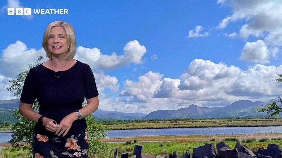
Blue skies over a campsite in Suffolk
Let's be honest, if you have had a staycation or tried to plan anything during the summer holidays, the weather has been disappointing.
Apart from a few days here and there where we had some warmer and sunnier weather it has generally been cool and wet.
With two weeks before autumn begins on 1 September, is there any hope of a lengthy dry, sunny and warm spell?
Well, we could be in luck.
While the start of summer in June was very warm and dry, it is July and August when children are off school and which most of us class as the summer holidays.
July was the wettest on record for some parts of the UK and the unsettled weather stayed with us into August.
Low pressure weather systems have continued to move in from the Atlantic bringing rain and strong winds.
This was especially the case on the first weekend of August when Storm Antoni barrelled in.

Storm Antoni in early August brought wet and windy conditions for many
For the dry, sunny and warmer weather in summer we really want to see high pressure dominating.
As a weather presenter and meteorologist the one question I am constantly asked at the moment is - when is the weather going to improve?
One friend messaged me just today asking about the weather for his holiday to Wales next week.
He went on to say "we really need some sunshine… summer has been so depressing and I just can't cope with another week of unpredictable downpours".
While school holidays are now over in Scotland elsewhere across the UK we've got around two more weeks of hope for nicer weather.

Pleasant summer day with fair weather clouds in the sky over Bournemouth
Last fling of summer?
While Friday is looking quite wet with thundery showers and rain moving across the UK, for much of this week we've got high pressure dominating.
This means for many while there'll be a few showers it'll be mostly dry with some sunshine and temperatures rising to the mid-to-high 20s.
It gets slightly cooler over again the weekend but the rain will clear to leave drier weather for the first time over a weekend in August and breaking the five week run where we have had low pressure dominating.
It is too early to give any specific detail yet for the last week of August but with high pressure close to the UK the largely settled weather looks like it'll continue early on in the week.
Temperatures may also rise further, most likely in central and southern parts of England where it could turn very warm with temperatures up to the low 30s.

Warmer air possibly arriving from the south east early next week.
From mid-week, high pressure will drift east towards Scandinavia which could allow some showers or rain to form with a cooler north-westerly wind.
While getting exact forecast details on weather apps more three or four days in advance are tricky, you can keep across any of our presented forecasts on TV, radio or the website.
- Published26 October 2020
- Published2 June 2023
- Published26 July