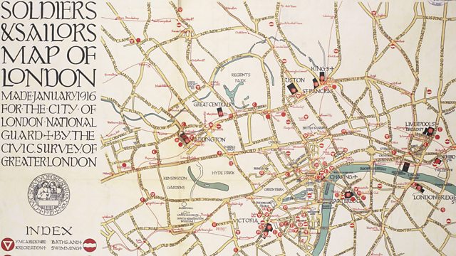
Central London: Soldiers and Sailors Map of London
In 1916 the YMCA published a map of London to be given to soldiers and sailors finding themselves in the capital.
Throughout the course of World War One, hundreds of thousands of servicemen passed through the capital either on leave, during treatment for wounds, or on their way to and from the fronts.
Although published by the YMCA, the map was made by the City of London National Guard and the Civic Survey of Greater London.
The map showed different forms of reputable recreation in order to help keen servicemen on the straight and narrow and keep them out of trouble. Amongst the attractions on offer were Turkish baths, YMCA beds, officers clubs, dominion and overseas clubs and…Belgians.
Location: Central London W1
Image: Soldiers and Sailors Map of London, courtesy of IWM
Duration:
This clip is from

Featured in...
![]()
�鶹Լ�� Radio London—World War One At �鶹Լ��
Places in London that tell a story of World War One
![]()
Soldiers from Different Nations—World War One At �鶹Լ��
ANZAC and Commonwealth troops
More clips from World War One At �鶹Լ��
-
![]()
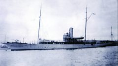
The loss of HMY Iolaire
Duration: 18:52
-
![]()
Scotland, Slamannan and the Argylls
Duration: 07:55
-
![]()
Scotland Museum of Edinburgh mourning dress
Duration: 06:17
-
![]()
Scotland Montrose 'GI Brides'
Duration: 06:41