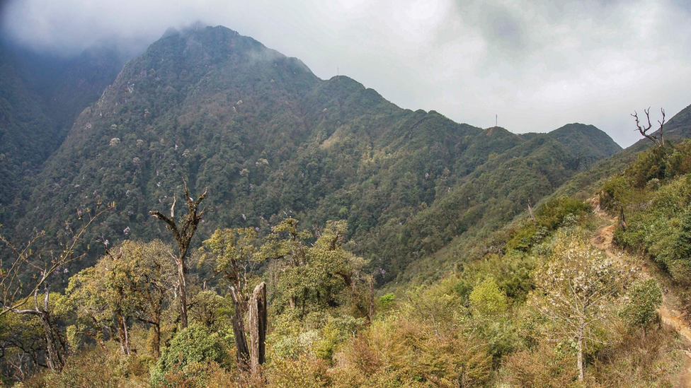
Indochina's highest mountain just got taller
- Published

Fansipan towers above the Muong Hoa Valley
Vietnam's Mount Fansipan, the highest mountain on the Indochinese Peninsula, is taller than previously thought. The peak in the Lao Cai province of Vietnam's mountainous north was remeasured earlier this year, and officially stands 3,147.3 metres (10,325.7 ft) above sea level - , the 24h.com.vn news site reports.
Phan Duc Hieu, director of the Department of Survey, Mapping and Geographic Information told reporters that the mountain was last surveyed in 1909 by the then French colonial authorities, using the barometric method of placing atmospheric pressure gauges at the peak and base of the mountain to calculate its height.
The figure on the pyramid will need changing
But Mr Hieu's team have used the Global Navigation Satellite System, combined with altitude data from satellite positioning stations around Asia, to provide what they are sure is an accurate reading.
"We are submitting documents to the Ministry of Natural Resources and Environment for consideration, and and other material in line with the new data," he told the Voice of Vietnam national broadcaster.
You might also like:
Mr Hieu proposes two theories as to why the mountain is considerably higher than earlier thought, one being a simple matter of the French surveyors' obsolete technology.
But the other suggests that the Hoang Lien Son Mountain Range, which includes Fansipan, has been ascending heavenwards at a rate of 4.3 cm (1.6 inches) a year.
'Roof of Indochina'
The range lies to the west of the Red River Fault, where the Yangtze Tectonic Plate collides with the Sagaing Fault in Burma and slowly pushes the mountains higher.
Geologist Cao Dinh Trieu says "high tectonic activity in the range in recent years is entirely consistent with the evaluation of scientists", and expects the "Roof of Indochina" as it is known to continue to rise, 24h.co.vn reports.
Meanwhile, Mr Hieu says his department will "continue to monitor Fansipan to determine the specific cause".
The mountain is in a heavily-wooded, long-inaccessible part of the country, and was first mapped in 1905 as part of a French project to demarcate the border with China.
More recently Vietnam has developed the tourism infrastructure of the Hoang Lien National Park, including a that features in the Guinness World Records - and may have just grown a little longer.
The cable car is the alternative to a three-day hike
Reporting by Martin Morgan
Next story: Scientists 'speechless' at Arctic fox's epic trek
Use #NewsfromElsewhere to stay up-to-date with our reports via .